Between Lek & Linge

The best way to explore The area between Lek & Linge is on foot. Stroll through the floodplains of the Lek or the blooming orchards along the Linge. Take a city walk through Leerdam or Vianen or one of the attractive villages.
Be inspired by the many walking routes Between Lek & Linge!
2 results

A route in the Vijfheerenlanden area that offers plenty of variety: this footpath takes you through floodplains,...
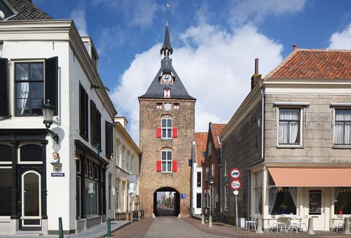
Take a walk through the streets of Vianen and discover the 190 national listed buildings, Vianen's history...